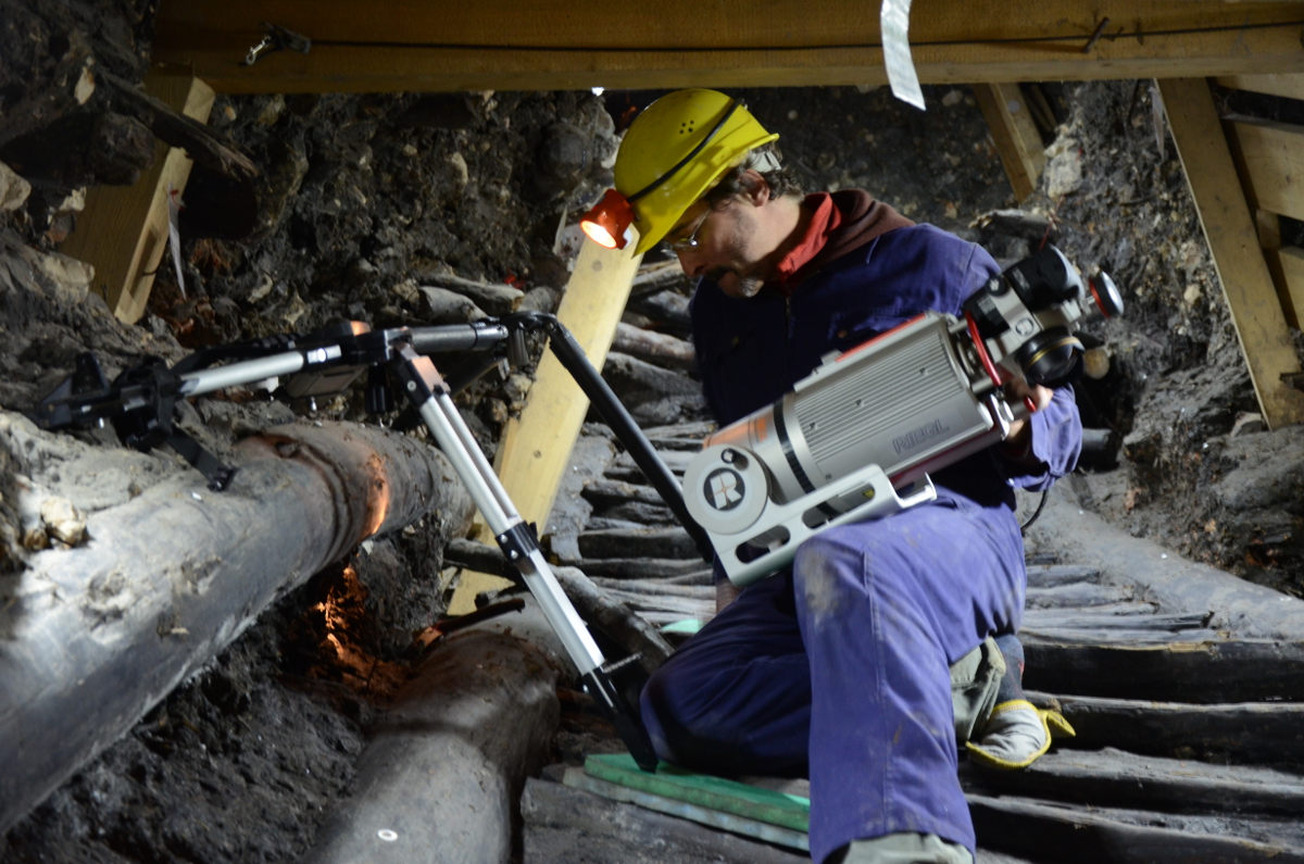
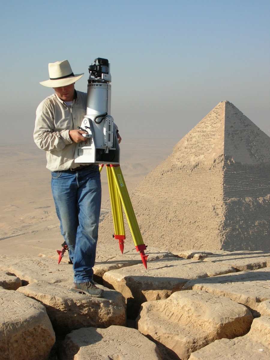
Terrestrial Laser Scanning
Within the last decade, 3Dlaser scanning has become increasingly important for documentation and preservation within cultural heritage and archaeology.
Evolving from a very sophisticated and complex methodology into a fast and user-friendly technique, it provides complete, efficient and highly accurate three-dimensional data collection within a broad range of applications.
The aim of 3D laser scanning is the documentation of objects and surfaces. Different systems are used depending on the size of an object and the range within which the scanner will be used. At the scale of whole landscapes it will be Airborne Laser Scanning (ALS). In most cases, whenever mid-range objects will be scanned, within the range of a few up to several hundred meters of distance, Terrestrial Laser Scanning (TLS) will be used. The systems at hand vary within their operating distance and accuracy. Basically, all of them emit a laser pulse which is reflected from solid surfaces. In deflecting the beam along a vertical axis of the machine and rotating 360° the surroundings are scanned, resulting in a cloud of points. The density of the cloud is dependent on the distance between object and scanner and the adjusted resolution. The typical accuracy of modern TLS scanners is below 5mm.
For the complete documentation of an object the scanner has to be set up on different positions to cover the whole area of interest. It is one of the main tasks within a survey to link these positions most accurately. Normally retro targets (reflectors) are used, which have to show up in all the scans which should be interconnected. Additionally, the position of these reflectors can be measured within a global coordinate system using a total station, which is crucial for comparison of further surveys. Another possibility for the final alignment of scans from different scan positions is the use of Multi Station Adjustment (MSA) in aligning the point clouds themselves to each other. Recent investigations have demonstrated the advantages of these techniques when applied in mines and caves.
For complete three-dimensional documentation, intensive data post-processing is necessary. Within this process, the collected point clouds are cleaned of artefacts, filtered and triangulated, resulting in real surfaces (mesh). These surfaces can be textured using digital imagery, either gained from a camera mounted on the scanner itself or from external pictures.