Archaeological Prospection
Transforming archaeological landscapes into virtual space
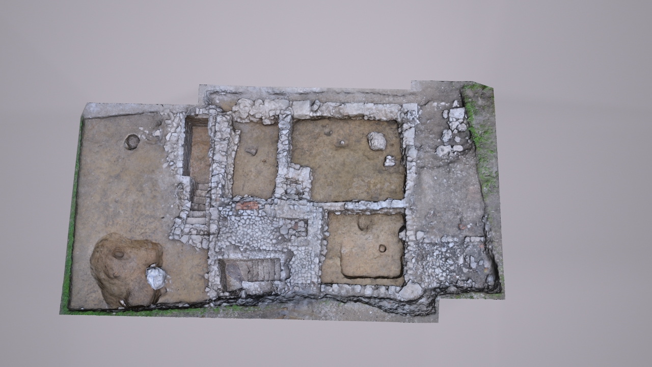
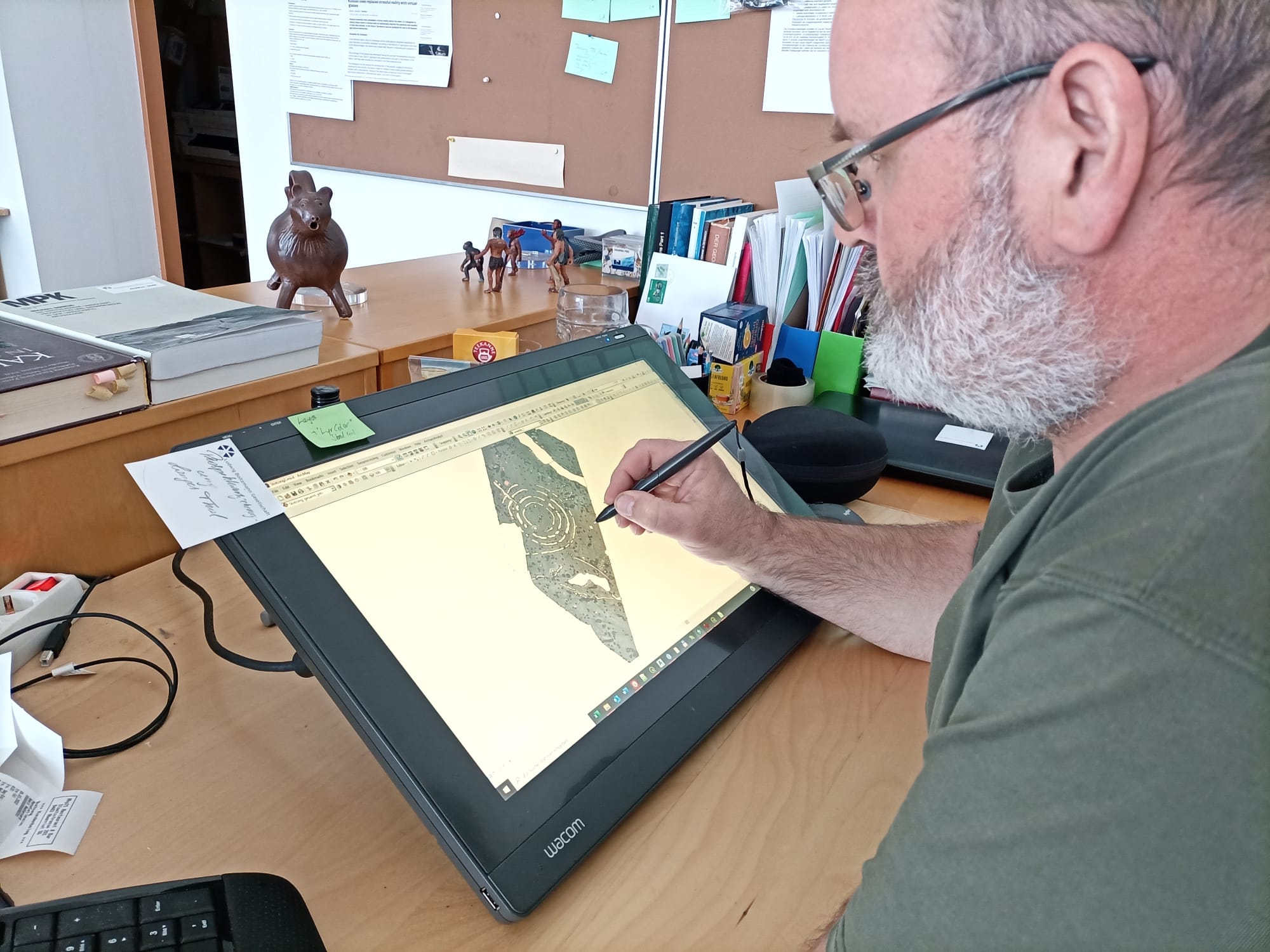
The main research goals in this research line are the development of novel, universally applicable methods and tools for the efficient non-destructive, high-resolution detection, visualization and integrative interpretation of our buried and standing cultural heritage.
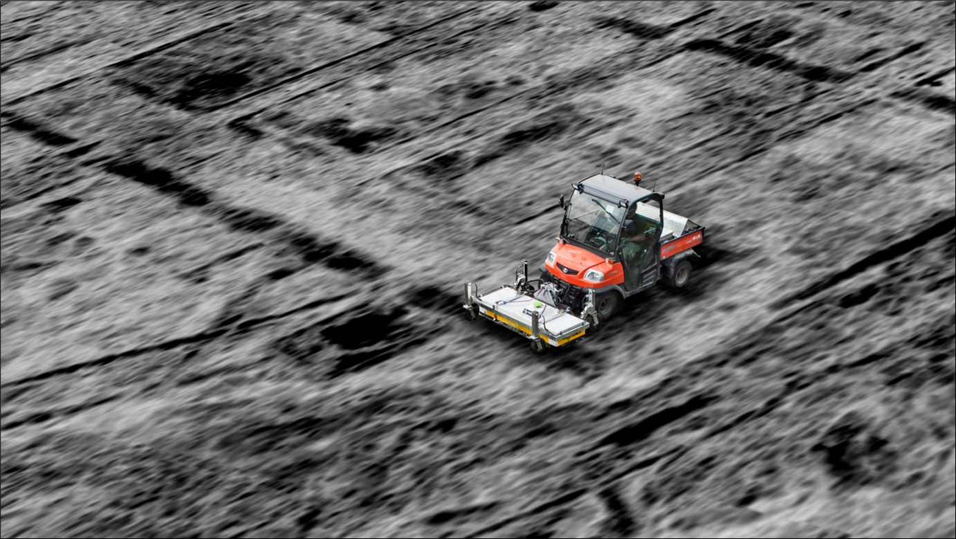
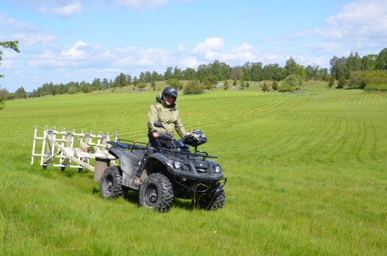
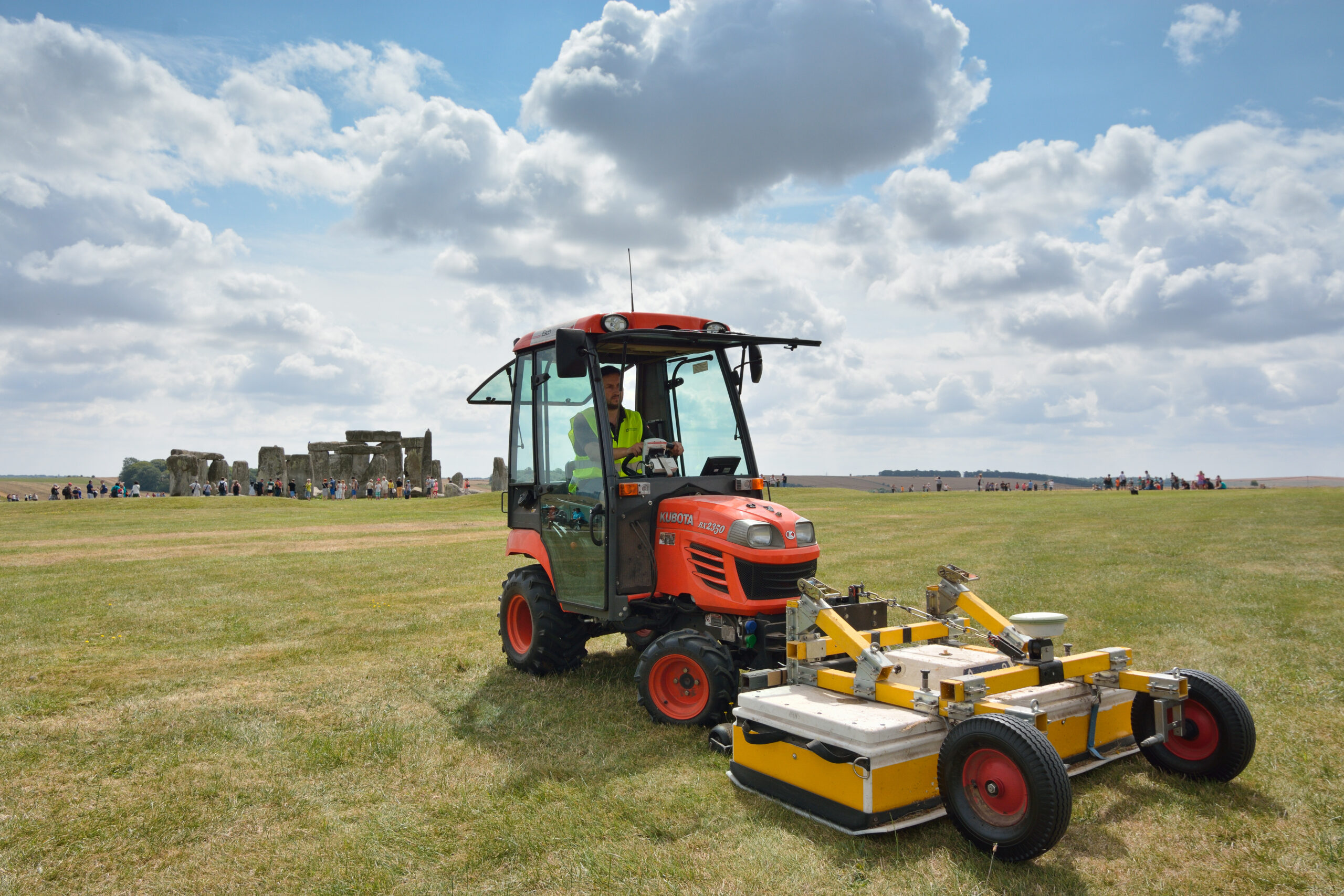
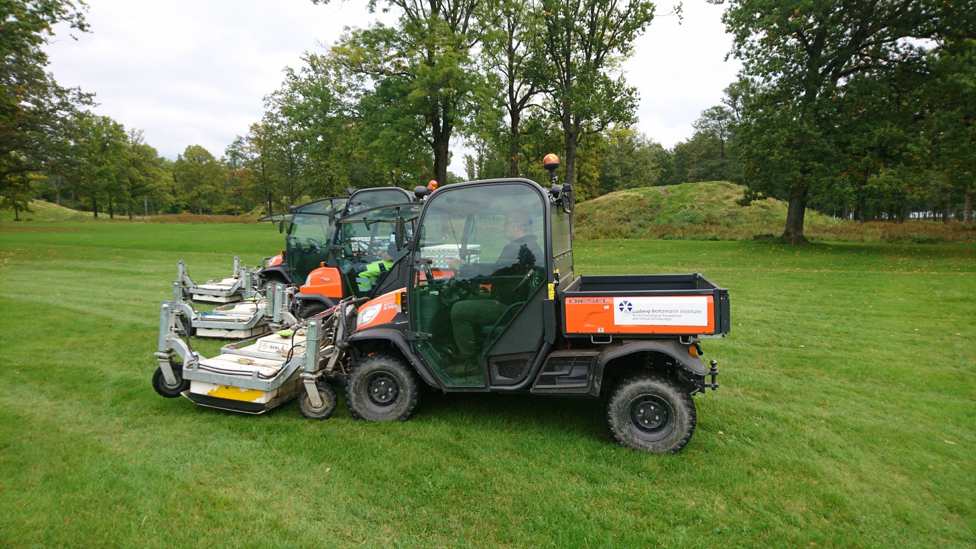
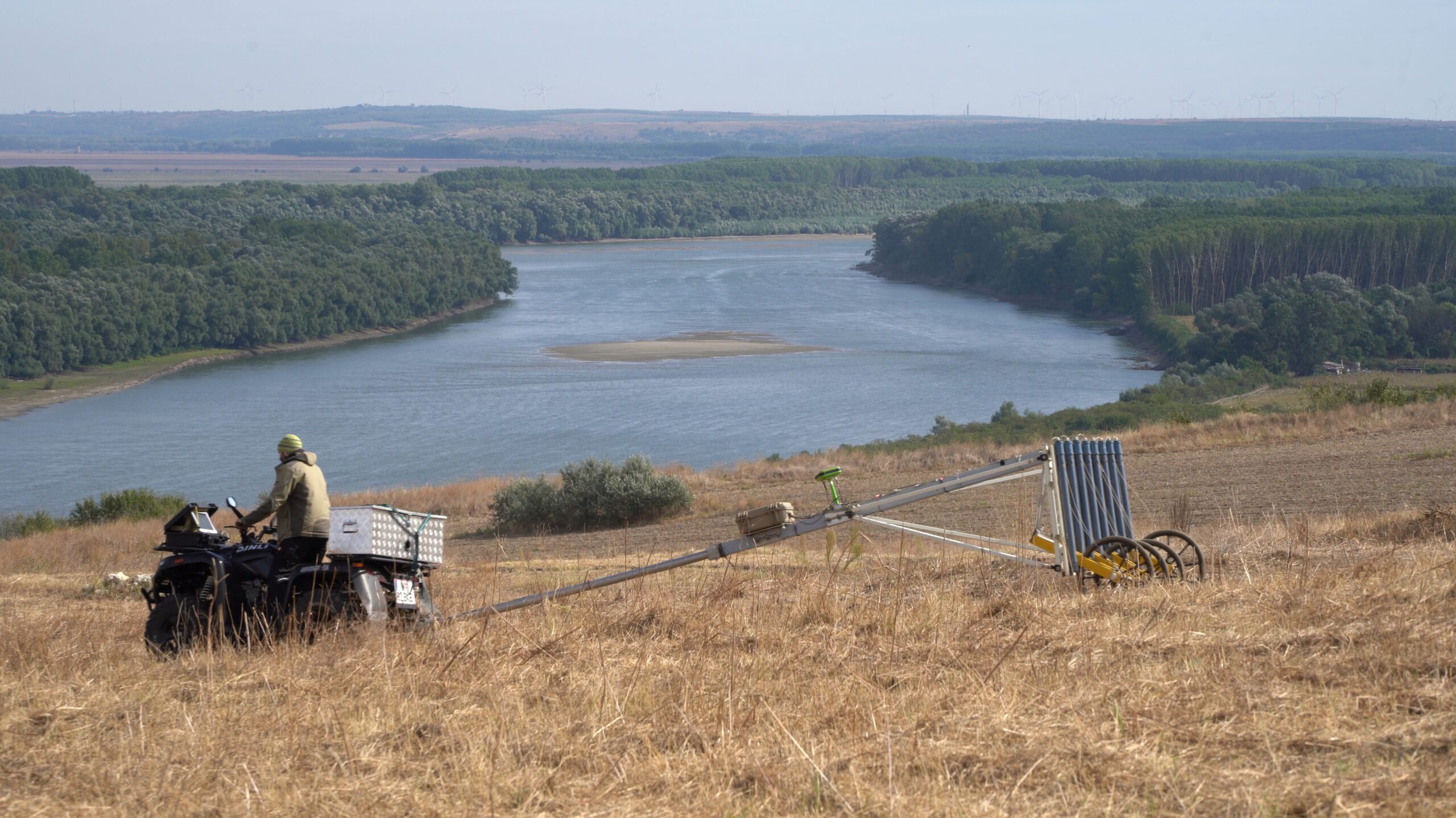
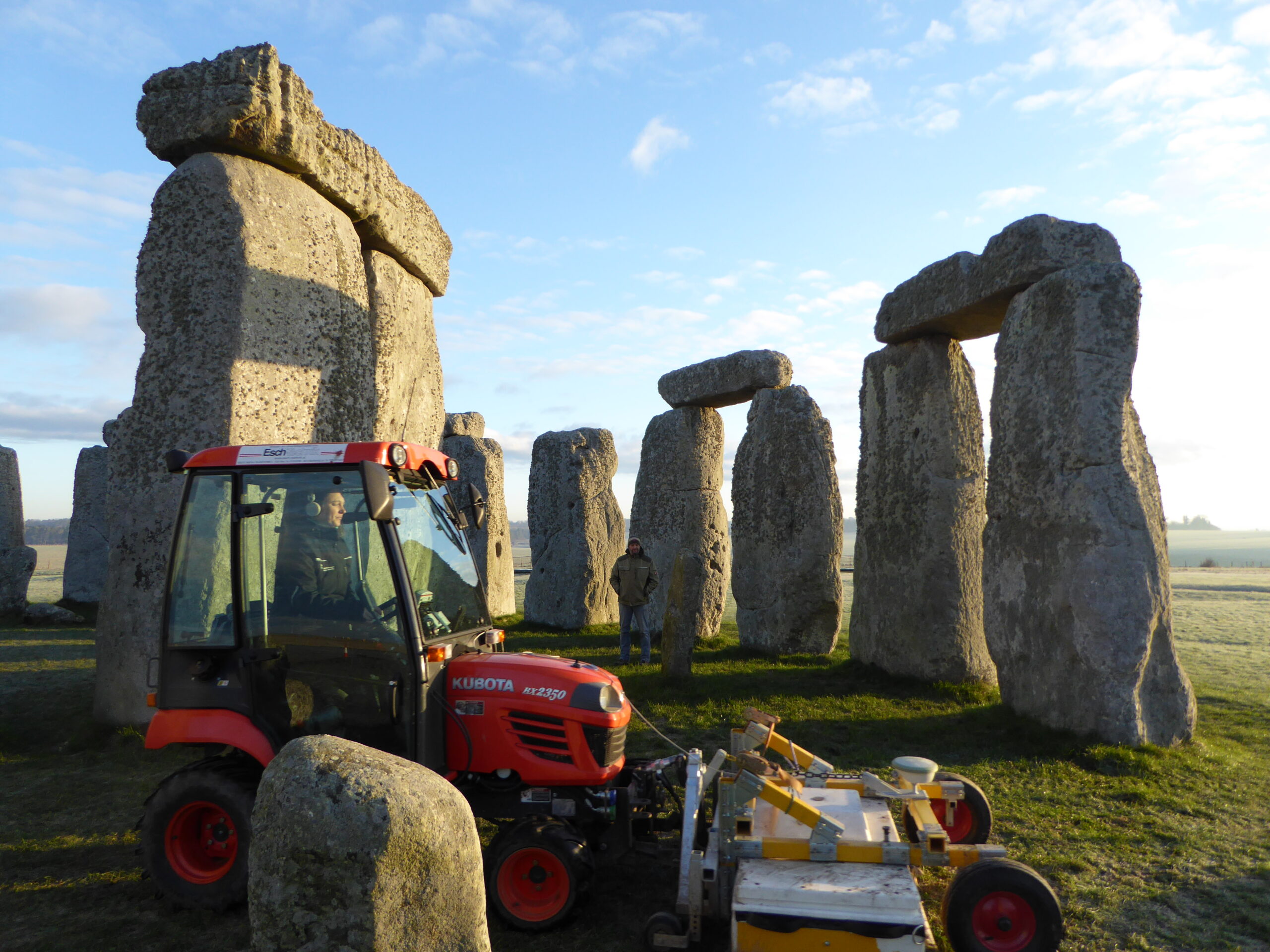
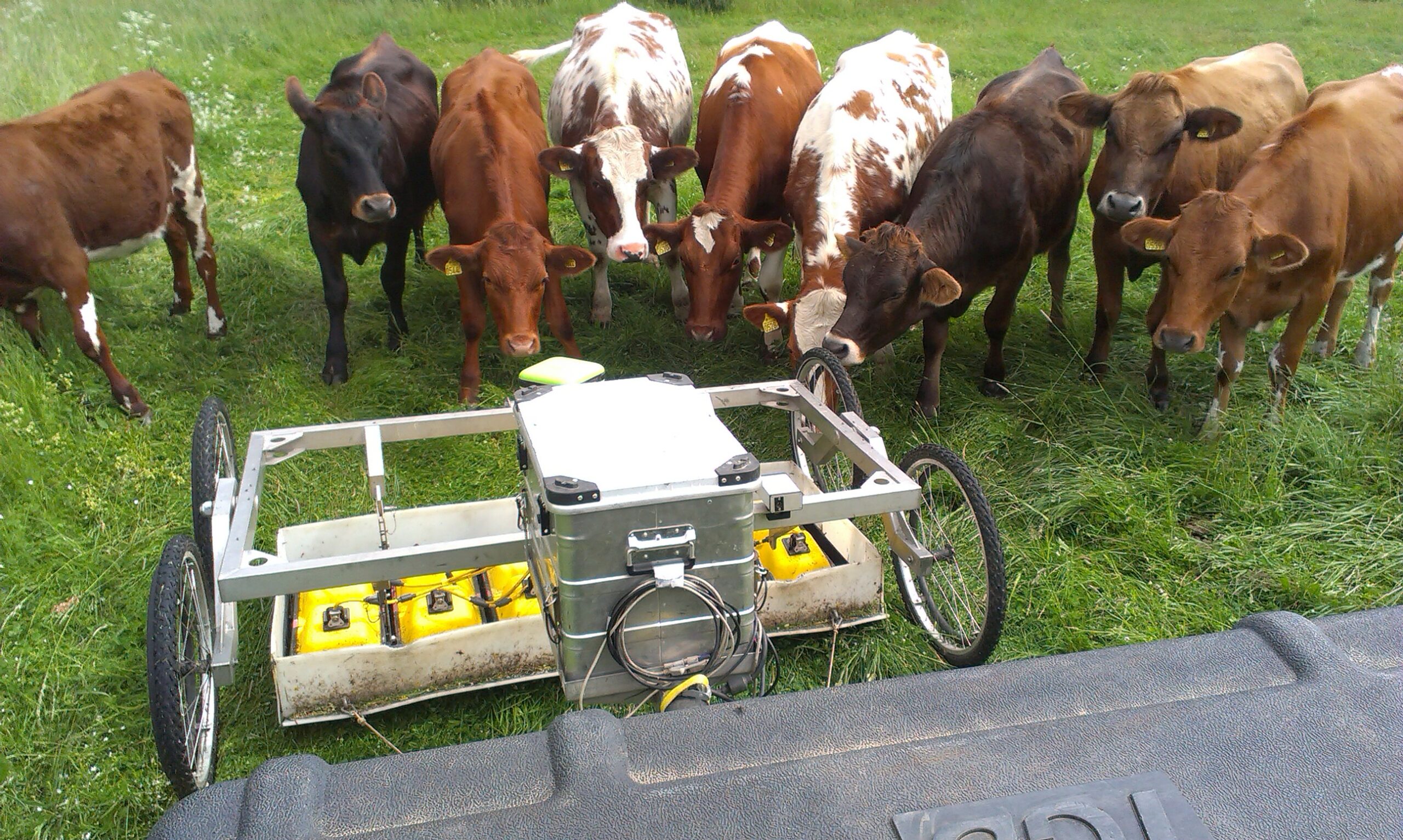
The methods used are efficient remote sensing and high-resolution near-surface geophysical prospection methods. These methods offer the possibilities to discover, investigate and document buried archaeology without exposing it to the risk of destruction, thus contributing to the preservation of endangered cultural heritage for future generations.
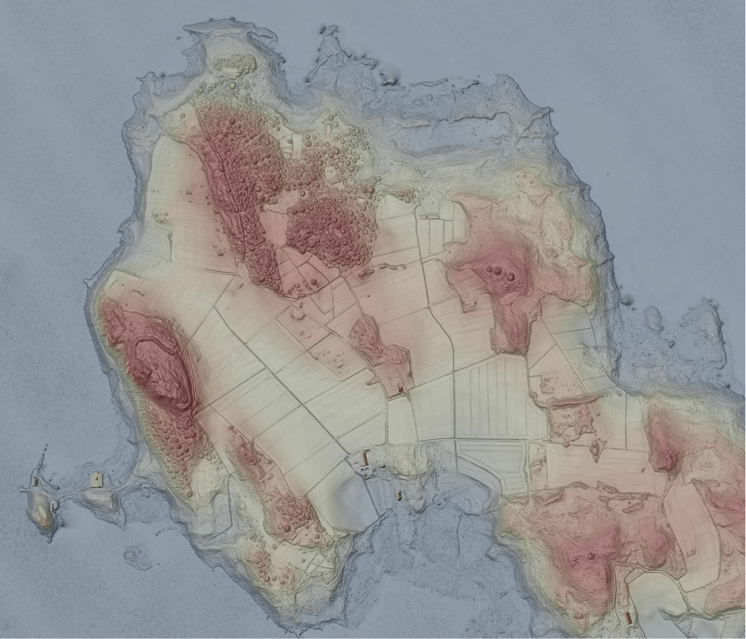
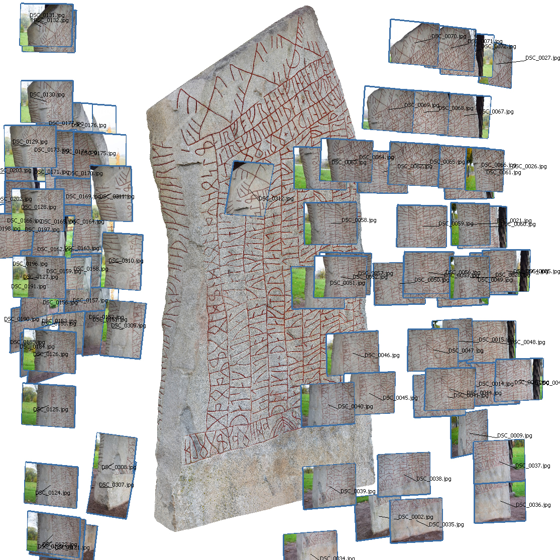
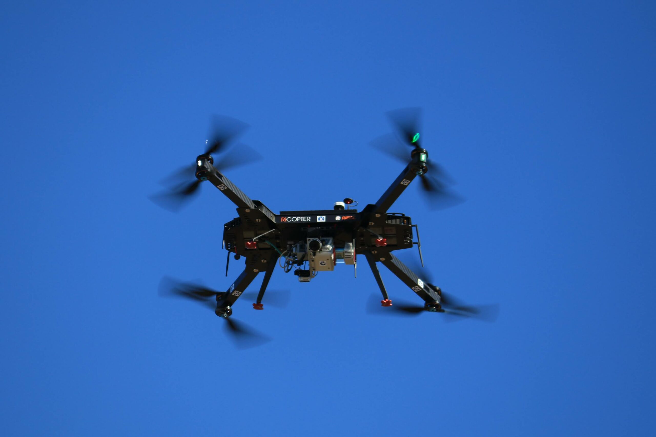
To achieve this, we focus on magnetometry and ground-penetrating radar as well as latest sonar technology for underwater prospection. Remote sensing methods comprise precise terrestrial and airborne laser scanning, and state-of-the-art aerial imaging, including image-based 3D modelling.
The goal is to substantially enhance spatial coverage as well as the quality of the imaging to permit for more robust and detailed interpretations of the generated data.