Kuelap (Peru)
Digital documentation of an endangered cultural heritage site
On the initiative of UNESCO and the Peruvian Ministry of Culture, the LBI ArchPro, together with an international research consortium, has digitally 3D-documented the endangered cultural monument Kuelap creating a basis for future monitoring strategies and the virtual conservation of the monument.
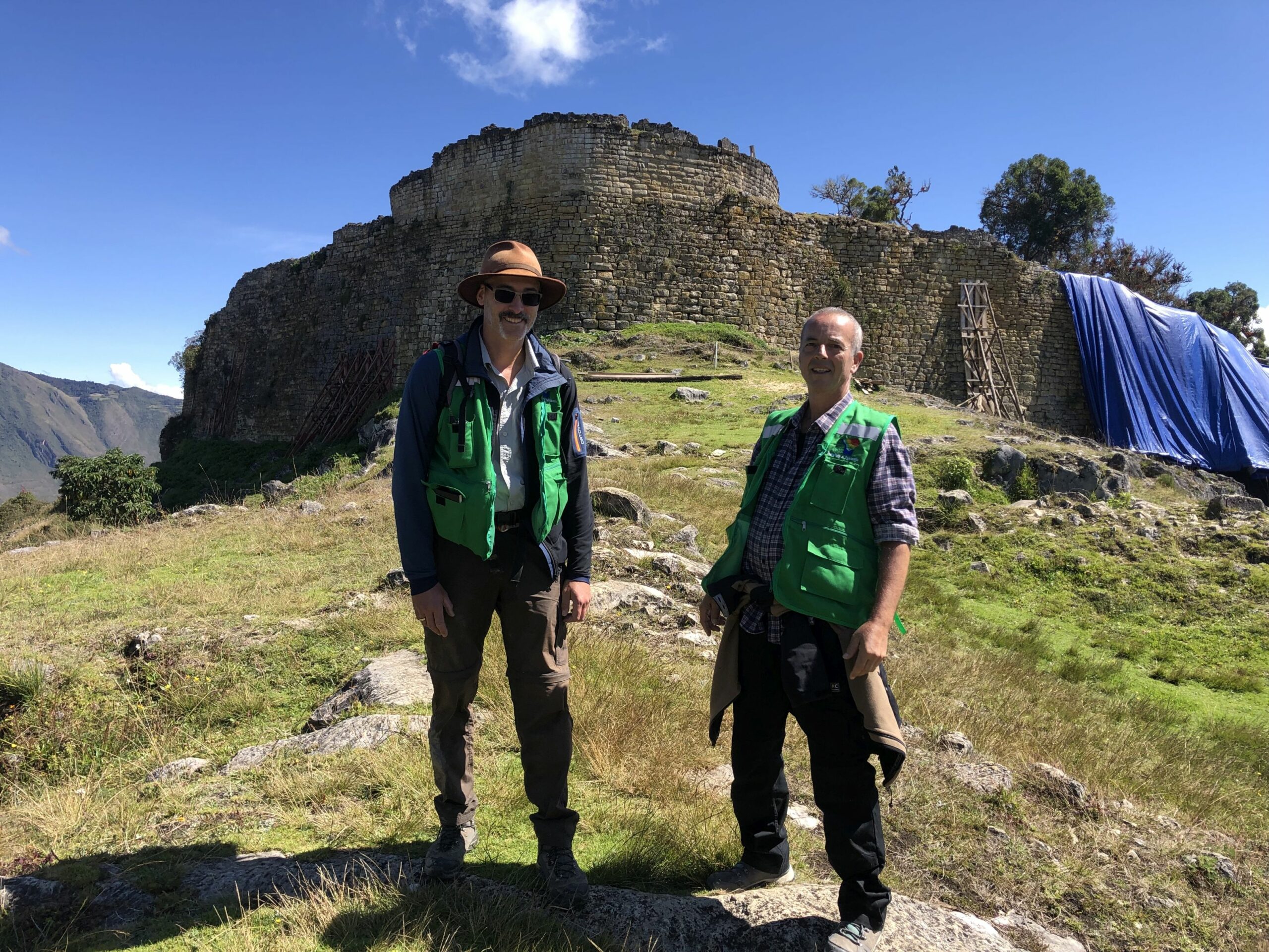
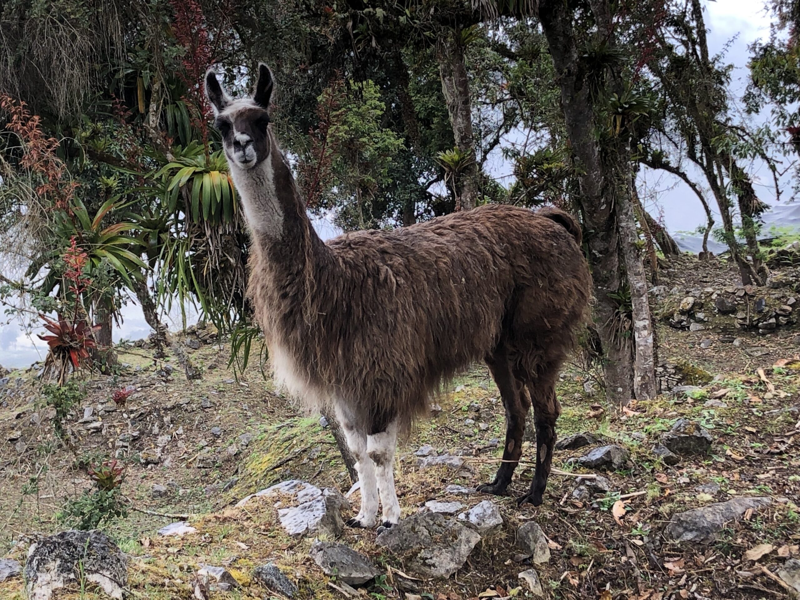
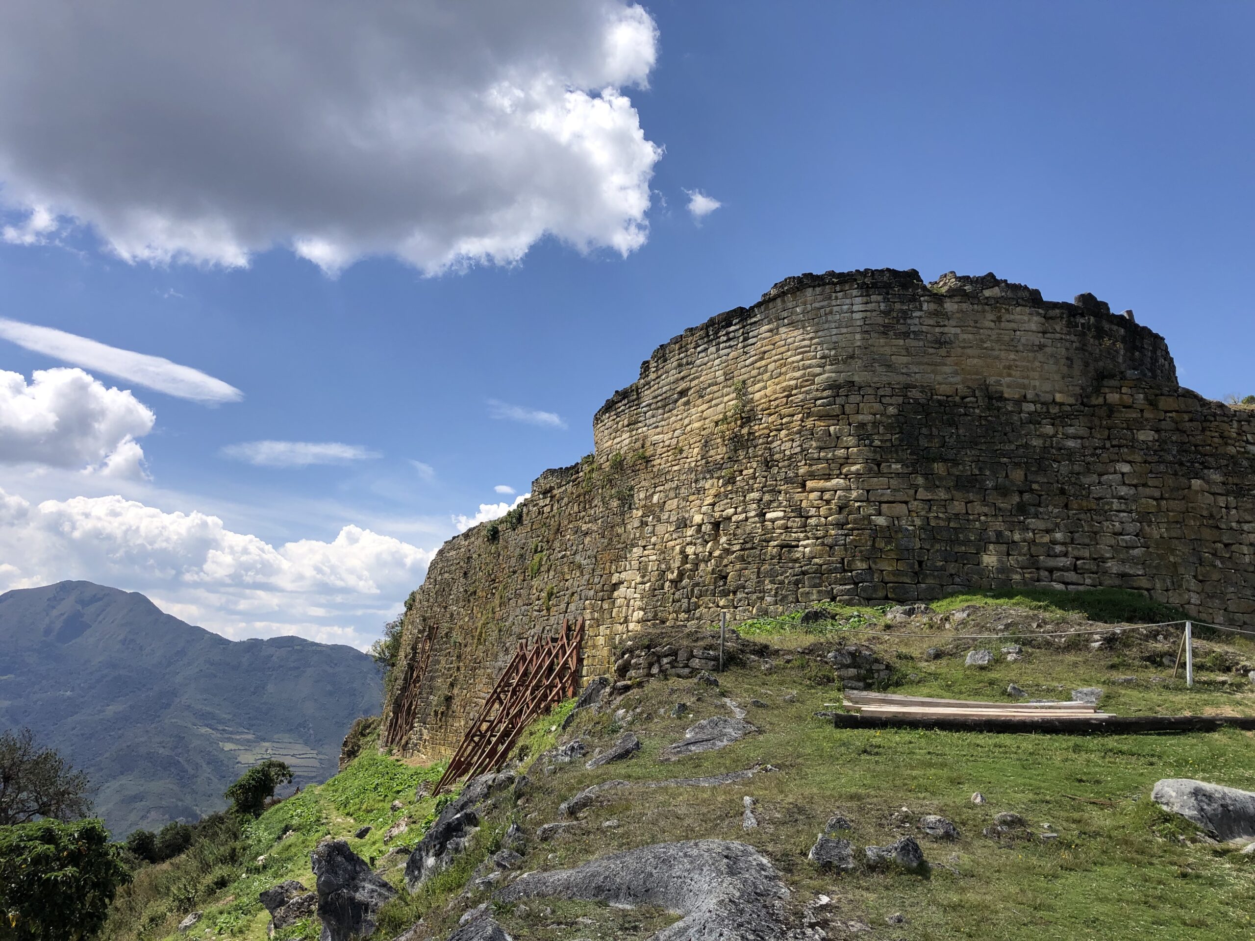
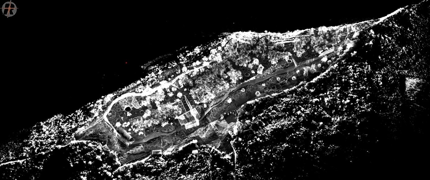
Kuelap is one of the greatest ancient monuments in the Americas. The fortress sits 3000 m above sea level on a mountain ridge of the Andes in northern Peru. It was the political center of the Chachapoya, a pre-Columbian culture that existed from about 900 to 1400 AD. In its heyday, the fortified settlement with city-like structures covered nearly 6 hectares over a length of 650m and a maximum width of 150m and had up to 5000 inhabitants living in hundreds of round stone houses. The imposing enclosing wall was up to 20 meters high and was made of large limestone blocks. For a long time, Kuelap has been a major tourist attraction in Peru, and since 2019 it has been on the tentative list for inclusion as a UNESCO World Heritage Site, along with the Chachapoyas sites in Peru’s Utcubamba Valley.
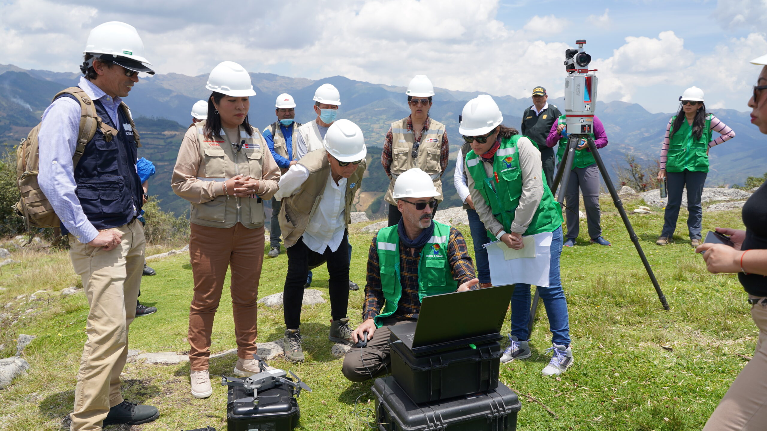
In the spring of 2022, Kuelap suffered massive damage from heavy rains in the Amazon, which led to the collapse of parts of the fortress’s perimeter wall and its closure to the public. The acute threat to the cultural heritage prompted UNESCO and the Peruvian Ministry of Culture to immediately contact the LBI ArchPro research team. Already in 2019, the LBI ArchPro was invited for the first time to conduct several TLS surveys in the area of the former Chachapoya culture in collaboration with Brown University, during which the scientists in Kuelap were also able to record the walls in the area of the most recent collapse.
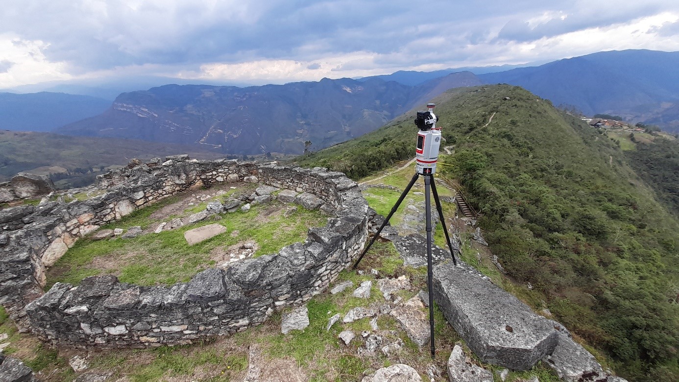
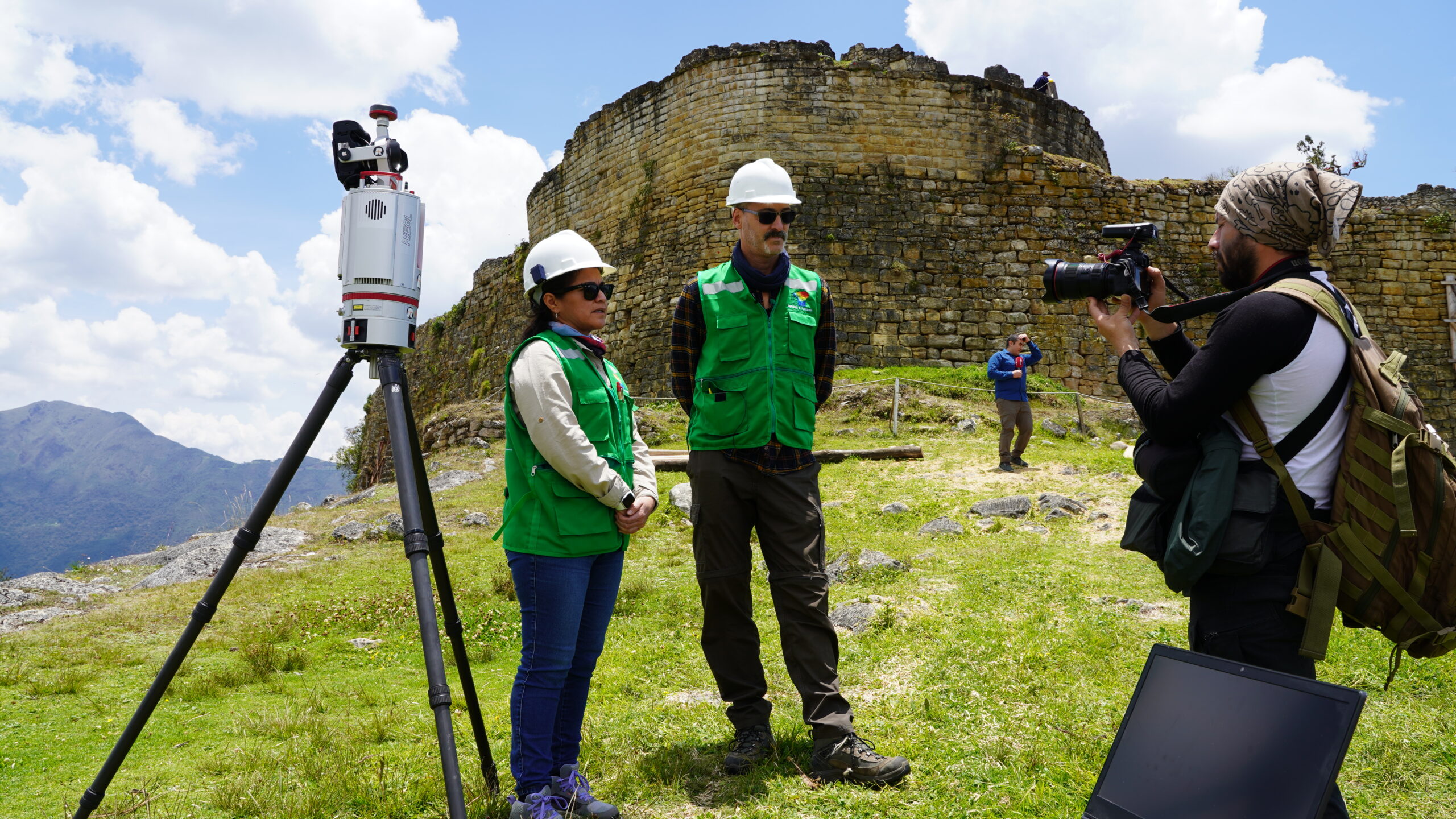
In September 2022, an LBI ArchPro team surveyed the site using various remote sensing methods in a two-week field trip. They met the challenges posed by the partly very steep and difficult-to-access terrain with the combined use of terrestrial and airborne methods that enabled the complete documentation of the fortress: terrestrial laser scanning (TLS), drone-based laser scanning (ALS) and image-based modelling. Cooperation partner RIEGL Laser Measurement Systems supported the project with the latest Austrian technology in the form of a high-performance laser scanner.
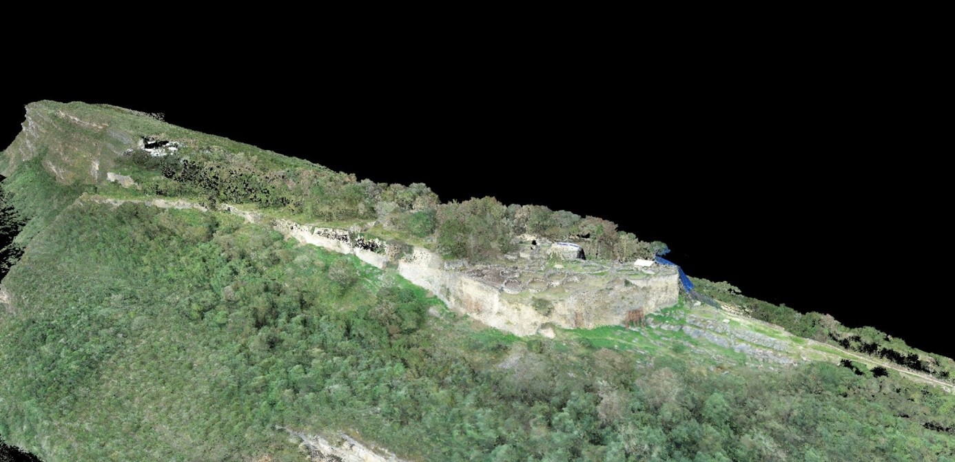
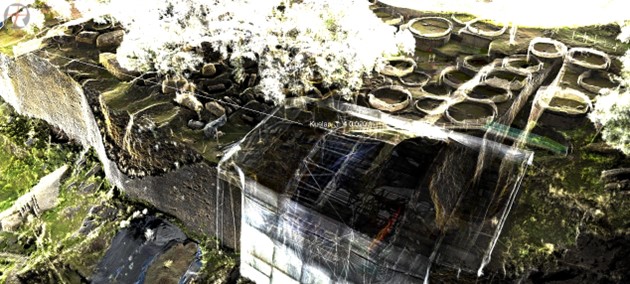
Besides the challenging data acquisition carried out by the LBI ArchPro in 2022 and 2019 respectively the processing, integration, and interpretation of various datasets from the LBI ArchPro’s and third-party surveys are within the focus of investigations. All these aspects foster a consequent application within the LBI ArchPro’s research program, namely 3D data capturing and geographic referencing in remote and challenging areas, the integration of different 3D acquisition techniques and the establishment of standardized routines. In the integrated analysis of the different data sets, the research team creates a high-resolution digital 3D terrain model of the entire fortress of Kuelap, in which the more than 500 round stone houses, the enclosing wall and numerous other structures are still visible on the surface are recorded with centimetre precision.