Research Programme
Archaeological Prospection and Virtual Archaeology offer the possibility to explore cultural heritage without destruction.
Our main research goal is to develop novel, universally applicable methods and tools for the efficient discovery, mapping and exploration of buried and standing cultural heritage without exposing it to the risk of destruction. Thereby, we strive to contribute to the preservation of endangered cultural heritage for future generations.
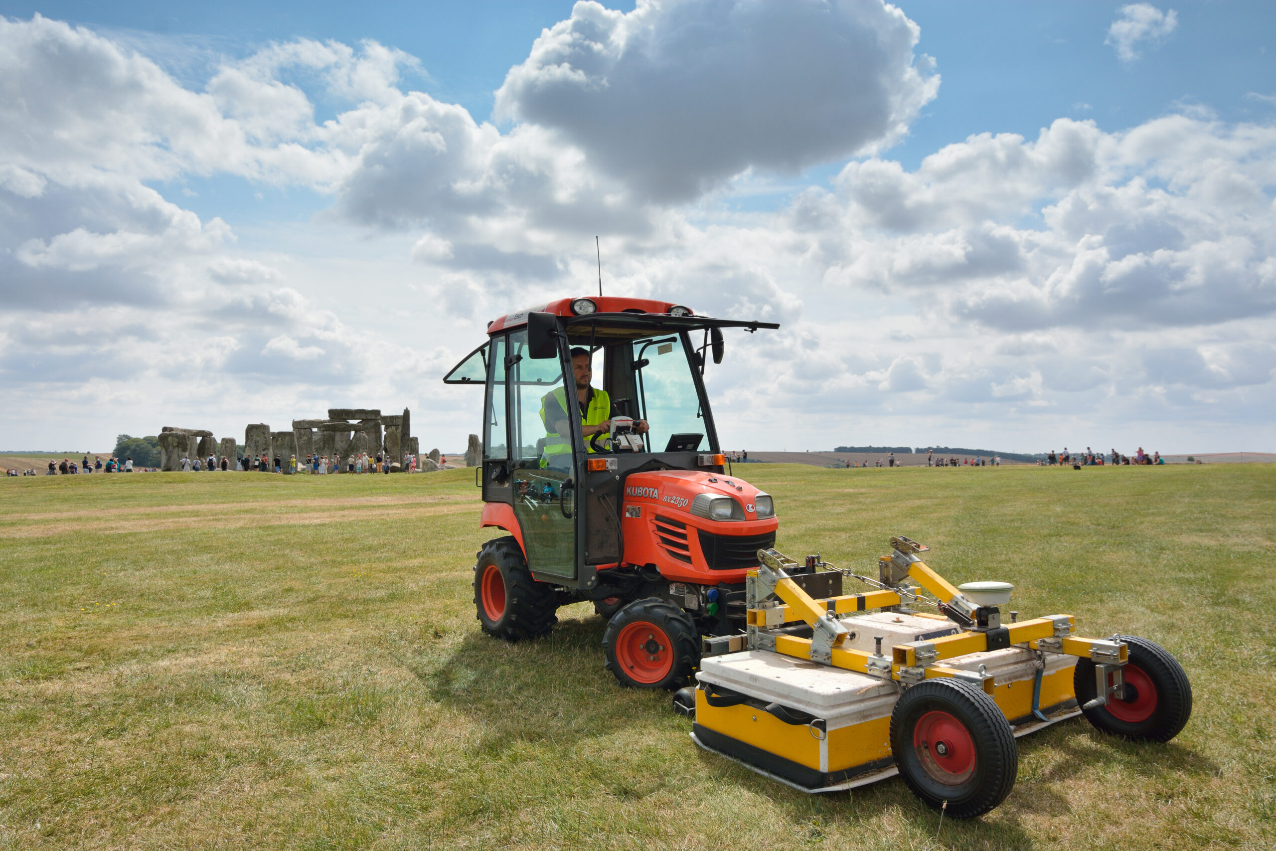
The LBI ArchPro combines advanced remote sensing methods, high-resolution near-surface geophysics, sophisticated computer science, geomatics and archaeology in an international, multi-disciplinary research team. We explore and develop new technologies for non-invasive data capturing, data processing, virtual reality visualisation and are dedicated to advancing the theory and methodology of archaeological prospection and virtual archaeology.
For geophysical prospection, we focus on magnetometry and ground-penetrating radar as well as the latest sonar technology for underwater prospection. Remote sensing methods comprise precise terrestrial and airborne laser scanning, and state-of-the-art aerial imaging, including image-based 3D modelling.
Together with our partners, we are applying these cutting-edge methods and developments on a large scale to diverse archaeological landscapes in case studies across Europe.